Star Struck by Wayfinding
by Betty Fullard-Leo

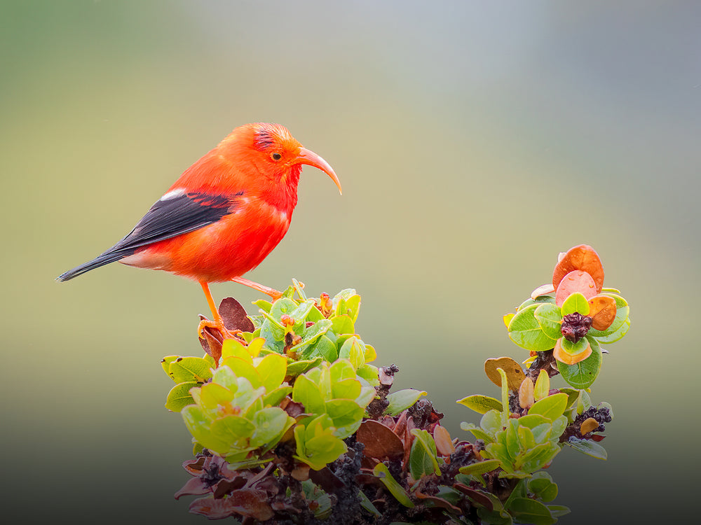
photo credit: Herb Kawainui Kāne
Hundreds of years before European seafarers sailed into Kealakekua Bay on the Big Island, early Polynesians systematically navigated through 16 million square miles of the Pacific. These voyages of discovery are thought to have begun as early as 300 AD, dwindling off about 1000 AD and ceasing about 1200 AD.
Until 1976 when the ancient water routes were retraced through modern "voyages of discovery," historians speculated about the origins of Hawai'i's first settlers. In 1947, Thor Heyerdahl built the balsa-wood raft Kon-Tiki and sailed from Peru across 4,300 miles of open ocean to test his hypothesis that aboriginal South Americans could have settled the Pacific Islands. But today, Polynesians and most historians believe the journeys of three significant voyaging canoes, the Hokulea, Hawai'i Loa, and Makali'i, have proven that Hawai'i's original settlers came from the Marquesas and other southwesterly points of the Pacific. Archaeologists point to clues such as similar one-piece bone fishooks found in New Zealand, Easter Island, the Cooks, the Societies and the Marquesas. Stories of the god Maui are also shared by many of the people of Polynesia. In addition, only Hawaiians and the Marquesans used an identical lure for catching octopus, and most conclusive of all, are shards of Lapita pottery made 3,000 years ago and brought by Polynesia's earliest settlers which indicate a trail of settlement from the west through Fiji, Samoa and Tonga. When the main Polynesian voyages of discovery ceased, the sextent was still 500 years from being developed, and Christopher Columbus had not yet ventured across the Atlantic. Yet, scholars believe the ancient Polynesians made repeated trips, even sailing against the prevailing winds-wayfinding by memorizing the movements of the stars and by observing wind, waves, currents, clouds and seabirds. Until recently, these early navigational skills were lost to modern man.
photo credit: Betty Fullard-Leo
On the beach at the Four Seasons Resort Hualalai, master navigator Clay Bertleman stands beside a star compass, a raised stone platform used to identify and reflect the path of the stars above. A dozen young people listen intently as he leads a star identification class, describing how most stars rise at particular points in the east and set at corresponding points in the west. "This was the way our ancestors navigated during their voyages of discovery undreds of years before Europeans came to Hawai'i," explains Bertleman.
Long before he became head of the Wayfinding Program for the resort's Interpretive Center, Bertleman learned to navigate in the way of his Polynesian ancestors through hands-on experience captaining the sailing canoes Hokule'a and Makali'i during several voyages between Hawai'i and Tahiti. He and his brother Shorty, as well as a number of other Hawai'I navigators, learned star-based wayfinding techniques from Mau Piailug. Piailug was one of the only master navigators who knew the old methods when he was discovered in the mid-1970s by members of the Polynesian Voyaging Society living on Satawal in the Cook Islands.
Piailug's students absorbed all they could about stars, waves and ocean currents, simultaneously memorizing the names and movements of stars important in wayfinding. Many of these Hawai'i students sailed with Nainoa Thompson, another early student of Piailug's who was instrumental in guiding voyages of the Hokule'a, the Star of Gladness, in 1976, 1980, 1985-87 and 1992. This double-hulled voyaging canoe was built to replicate as closely as was known the design of ancient canoes, though its hulls were made of fiberglass.
In 1993, another voyaging canoe, Hawai'i Loa, was completed of natural materials and successfully sailed to the Society and Marquesas Islands without the use of modern navigational equipment. In 1995, the Bertleman family with the help of members of the Big Island community built the 54-foot Makali'i. For the Bertlemans, it was the culmination of a long-time dream. Over the years, Clay Bertleman, his brother Shorty, and Chad Paishon continued to study navigation and sail together. Four years ago, Thompson launched a program for Big Island youngsters called Moku O Hawai'i Na Haumana Kelo, whose translated name tells it all-"From the Islands of Hawai'i, these are the children who sail." When he became overloaded with duties on O'ahu (such as a navigational program he started at the University of Hawai'i-Windward Campus), Bertleman stepped in to develop and guide the Big Island program.
Last year 156 students from eight Big Island high schools of all ethnic backgrounds completed a week-long training session during spring break, then sailed for nine-days on the Makali'i along the Kona-Kohala coast from Mahukona to South Point. They learned about Hawaiian culture; they learned teamwork, critical thinking, menu planning, geography and mathmatics. Explains Bertleman, "It's important that they learn about the Hawaiian culture, but it's about even more than that. They learn cultural values-it's a whole self esteem thing."
Bertleman introduces students to Hawaiian concepts of deep ocean navigation, a skill that might take months to learn and much longer to perfect during actual sailing expeditions. It is likely that early voyaging Polynesians determined their position on the ocean by picturing their canoe in the open ocean at the center of a huge circle, or star compass, similar to the one at Hualalai. Their navigators knew the rise and set points of the sun and the moon, plus those of countless stars and planets. The stars trace arcs on the sky as the earth rotates. Long arcs form at the equator where stars pass across the sky most rapidly, shorter arcs form in polar regions, while circumpolar stars near the celestial poles do not rise or set.
Initially, 36 stars were identified and used on star compasses to give 72 rising and setting points that allowed Hawai'i's early navigators to orient the whole compass with respect to a canoe even if only one star were recognizable in a cloudy sky. If the navigator saw the culmination point of a rising star, he knew either true north or true south lay directly beneath it. North-south lines of direction can also be determined by pairs of stars on the same celestial longitude and by extending an imaginary line dividing day and night on the moon, particularly during its crescent phase.
Half-a-dozen equally complex ways exist for estimating latitude. Stars such as Arcturus (Hokule'a in Hawaiian), Sirius (A'a), Polaris, (Hoku-pa'a, the unmoving star), and constellations like the Southern Cross, the Big Dipper (Nahiku) and the Pleiades, called Na-huihui-a-Makali'i which translates to "cluster of little eyes," furnish important signposts during long voyages. Today, Bertleman can identify and use 119 stars.
Stars are only a small part of navigation, however. Assessments must be made at sunrise and sunset, speed and time need to be noted, as well as the direction of swells and where the wind is coming from.
When the celestial star compass disappears on a cloudy night, ancient-and present day wayfinders-were forced to rely solely on the surface of the sea. Mau Piailug, like his ancestors, is so attuned to the sea, he can recognize five different swells, or long waves generated by pressure systems far beyond the horizon. Swells pressed onto the ocean by trade winds might remain the same for weeks and months at a time. By hearing and feeling the way the swells slap against the bow and how the canoe rocks, navigators can keep the direction steady.
Once near land, natural signs help to pinpoint an island. Birds that go out to sea in the morning to feed and return in the evening are welcoming sights for any voyager as they indicate the nearness of land. Rapidly moving clouds propelled by trade winds indicate open ocean, contrasting with high stationary clouds that collect over land. And when a light green color is reflected on the underside of a cloud, it might indicate a shallow lagoon protected by an island land mass.
Today, traditional navigation skills have been recovered, but the goal now is to perpetuate them by practicing them and passing them on to younger generations. For Pacific Islanders the recovery of these amazing navigational techniques provides proof of their origin, a seafaring heritage deserving of pride and honor that surpasses the skills of much later explorers. As Clay Bertleman puts it, "For me, this work is a lifetime commitment."

Readers respond:
Aloha, Coffeetimes,
I just read one of your online articles about navigation titled? ? Star Struck By Wayfinding?, ? by Betty Fullard-Leo. In it?,? she says that the island of Satawal, the island that the great navigator Mau Piailug is from, is in the Cook Islands. Not so: Satawal is a coral atoll, located in the Central Caroline Islands? ? and is part of Yap State in the Federated States of Micronesia. You may want to make this correction, out of respect? for Papa Mau.?
Sincerely and aloha, Michael Cowell,
Director The Drama Crew Playwright of Song for the Navigator
Readers may submit editorial comments to any of our stories by sending an email to les@lbdcoffee.com. We would be happy to attach your comments and feedback to anything we publish online. Thank you for your interest.
Story appeared originally in Coffee Times print magazine and appears online for archival purposes only. Any use or reprinting of these stories without the expressed written consent of the author is prohibited.